Data Analysis: Modelling, Simulation, and Optimization
Author: Arnold Nagy, Central European University (Budapest, Hungary)
The rapid development of more efficient and powerful automated sensors observing Earth’s ecosystems generates (often exponentially) increasing volumes of data. Consequently, meeting stringent research, and ultimately management, objectives requires an ever-growing effort in data fusion, storage, management and analysis.
In the section dedicated to Geographic Information Systems (GIS), we presented the importance of GIS data, tools and methods, as a backbone for analytical framework employed in water management. Here, we give a brief overview of the main data analysis processes which the water management practitioner is likely to use/encounter, also while working with other technologies described in this training material:
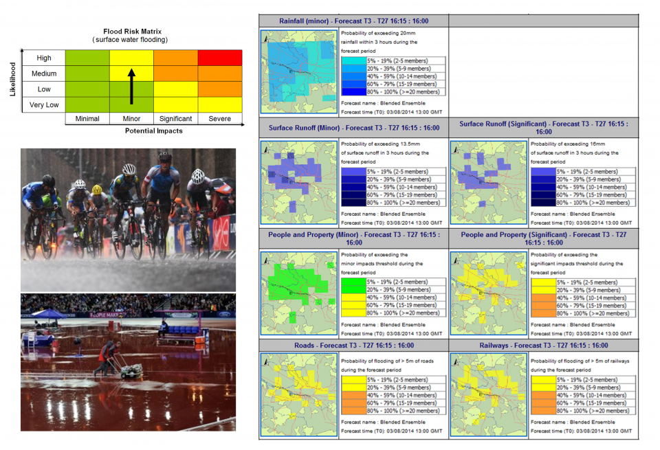
- Data / statistical modelling starts with uncovering patterns in existing data, which are then used to predict/forecast future variations in the parameters of interest. It is critical that confidence (variability) of predictions is quantitatively assessed. The complexity of the modelling exercise increases quickly with the number of variables and quantity of data used; ICT-based geospatial and statistical modelling tools are irreplaceable for such computationally-intensive efforts. Forecasts for hydro-meteorological indicators are a good example of critical modelling applications in water management.
- Simulations are of particular importance to water management; they allow practitioners to test, in a modelling environment, management scenarios with varying starting conditions in order to assess and characterize their likely outcome. For this reason, they are routinely used in environmental planning, including EIA and SEA, and resource management. Example: assessing long-term impacts on water resources from different water pricing models.
- Optimization is an analytical approach stemming from operations research which can be described simply as identifying the scenario(s) of highest benefit at the lowest cost. If sufficient information is available to quantify existing conditions, optimization tools ensure that, for example, resource allocation efforts have the best possible outcome. Example: geographical delimitation of water use rights, within a river basin; spatial planning optimization can assist managers in identifying the best zoning solution, which minimizes impacts on water resources while meeting local demand.

