Geospatial Technologies and Remote Sensing for Monitoring SDGs 2016
Course dates: July 4-8, 2016
Venue: Central European University, Budapest, Hungary
Workshop Information
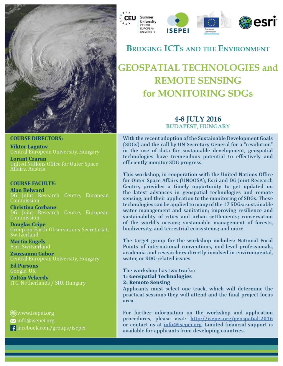
With the recent adoption of the Sustainable Development Goals (SDGs) and the call by UN Secretary General for a “revolution” in the use of data for sustainable development, geospatial technologies have tremendous potential to effectively and efficiently monitor SDG progress. In the fifteen years since the adoption of the Millennium Development Goals (MDGs), the amount of data available, as well as data collection and processing methods have changed substantially. Geospatial technologies and remote sensing offer a crucial location element to the monitoring of SDGs and their corresponding targets and indicators. The unprecedented “power of where” allows for unbiased observation and analysis across borders, administrative boundaries, and nations.
Yet there is still a gap between the technology world and the world of environmental decision- and policy-makers. Despite the tremendous potential geospatial technologies offer, there are still traditional fears among practitioners that prevent their uptake. Furthermore, these technologies are constantly changing and improving, making it even more difficult for practitioners to track the updates about the potential use and application of technologies, such as geographic information systems (GIS) and remote sensing.
This course is part of a series of “Bridging ICTs and the Environment” workshops that aim to address that gap: providing in-service education and professional training for environmental decision-makers and practitioners, who are in a position to greatly benefit from this data revolution to better shape management strategies and to make more informed, data-driven decisions.
The workshop provides a timely opportunity to get updated on the latest advances in geospatial technologies and remote sensing, and their application to the monitoring of SDGs. These technologies can be applied to many of the 17 SDGs: sustainable water management and sanitation; improving resilience and sustainability of cities and urban settlements; conservation of the world’s oceans; sustainable management of forests, biodiversity, and terrestrial ecosystems; and more.
Workshop Tracks
This workshop has two tracks:
1) geospatial technologies and
2) remote sensing.
Applicants are required to select one track, which will determine the practical sessions they will attend and the final project focus area. The course will begin with a 2-day plenary session for all participants, setting the stage and highlighting the importance of this “data revolution”, and its relevance and significance to the monitoring of SDGs. Once participants separate into their selected tracks, they will combine examples from the plenary session, acquired practical knowledge, and their past experience to complete a course project addressing at least one of the SDG targets or indicators. Each participant will present their outcomes on the last day of the course (Day 5 for the geospatial track, Day 6 for the remote sensing track), which will be graded by selected faculty.
Target Group
The target group for this workshop includes: National Focal Points of international conventions, mid-level professionals, academia and researchers directly involved in environmental, water, or SDG-related issues that could benefit from learning how to apply geospatial technologies and remote sensing in their daily work.
Workshop Directors
Viktor Lagutov, Central European University, Hungary
Lorant Czaran, United Nations Office for Outer Space Affairs, Austria
Workshop Faculty
Alan Belward, DG Joint Research Centre, European Commission
Christina Corbane, DG Joint Research Centre, European Commission
Douglas Cripe, Group on Earth Observations Secretariat, Switzerland
Martin Engels, Esri, Switzerland
Zsuzsanna Gabor, Central European University, Hungary
Ed Parsons, Google, UK
Zoltán Vekerdy, ITC,Netherlands/Szent István University, Hungary
Application Information
For further information on the course and application procedures, please visit: http://summeruniversity.ceu.edu/geospatial-2016. Limited financial support is available for applicants from developing countries.
Additional Information
This workshop is run in cooperation with the United Nations Office for Outer Space Affairs, Esri and DG Joint Research Centre through the ISEPEI Project. It is run under the organizational framework of the CEU Summer University.