Introduction to Geospatial Technologies for Achieving SDGs 2022 – Food Security
Course dates: July 25-29, 2022
Venue: Central European University, Budapest, Hungary
[Late applications will be reviewed on a case-by-case basis]
Workshop information
Geospatial technologies and remote sensing offer a crucial location element to the monitoring of SDGs and their corresponding targets and indicators, but the technologies’ uptake is hindered by the existing gap between practitioners and developers. The series of “Bridging ICTs and the Environment” ISEPEI workshops aims to bridge this gap by offering in-service education and professional training for practitioners. This annual workshop series provides an opportunity for non-specialists to get updated on the latest advances in geospatial technologies and their application in monitoring Sustainable Development Goals (SDGs). Sattelite Imagery, Geographic Information Systems, mobile applications, and other technologies can be applied for achieving and monitoring multiple SDGs targets and indicators. Focusing on various SDGs, the series has been successfully conducted in cooperation with UN agencies (UNEP, UNDP, UNOOSA, UNFPA, UNECE, UN FAO, etc) and global key stakeholders in digital technologies (EU JRC, Airbus, Esri, Google, MAXAR, etc) since 2014.
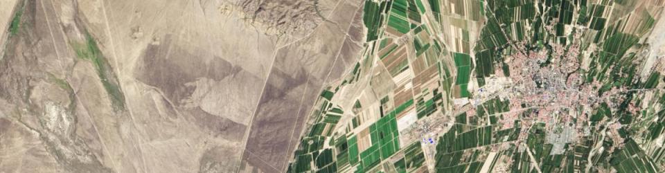
This year’s course explores the use of geospatial technologies in agriculture and digital transformation of rural areas, including precision agriculture, mobile apps, GPS and drone use, among others. The program builds upon the professional network and expertise of the newly established OSUN’s GeoHub partners.
About ISEPEI
The Introduction to Geospatial Technologies for Achieving SDGs – Demographic Considerations workshop continues the series of joint UN-CEU training events under the ISEPEI Project “Bridging ICTs and the Environment”. The ISEPEI Project aims to address the gap between geospatial industry and practitioners by providing in-service education and professional training for environmental decision-makers and practitioners, who are in a position to greatly benefit from this data revolution to better shape management strategies and to make more informed, data-driven decisions.
For more information about ISEPEI courses http://isepei.org/workshops.
Target Group
The target audience for this course is a multistakeholder interdisciplinary group of practitioners and academia involved in the digital transformation of agriculture and rural areas and interested in the use of geospatial technologies.
The applicants from academia can include students, faculty, and research fellows from any institution, priority will be given to graduate students in public policy and environmental management from OSUN and CIVICA partner institutions.
Applications from any sector related to agriculture and rural areas development are encouraged, including senior and junior professionals from national agencies (e.g Ministries of Agriculture or Natural Resources), international organizations (UN and development agencies), farmer associations, civil society, and relevant private sector.
Applicants with practical experience in digital agriculture will be given priority.
Pre-requisites
- Proven professional and/or academic focus on agriculture and food value chains or relevant geospatial technologies;
- Intermediate computer user skills.
Workshop Directors
Viktor Lagutov, ISEPEI Project, Central European University (CEU)
Lorant Czaran, United Nations Office for Outer Space Affairs (UNOOSA)
Kanat Sultanaliev, Tian Shan Policy Center, American University of Central Asia (AUCA)
Workshop Faculty
Anne Virnig, United Nations Development Program (UNDP)
Anupam Anand, Global Environment Facility (GEF), World Bank Group
Bouajila Essifi, UN Food and Agriculture Organization (FAO)
Carolina Starr, UN Food and Agriculture Organization (FAO)
Douglas Cripe, retired, Intergovernmental Group on Earth Observations (GEO)
Ed Parsons, Google
Guenter Doerffel, Esri Global, Inc
Masahiko Nagai, Center for Research and Application of Satellite Remote Sensing (YUCARS), Yamaguchi University
Shirish Ravan, United Nations Office for Outer Space Affairs (UNOOSA)
Valentin Nagy, UN Food and Agriculture Organization (FAO)
Where to apply?
[The application deadline has expired. Late applications will be reviewed on a case-by-case basis.]
For information on the workshop and application procedures, please visit: https://summeruniversity.ceu.edu/courses/introduction-geospatial-technologies-achieving-sdgs
Should you have questions or concerns, do not hesitate to contact us at: isepei@ceu.edu
Additional Information
The workshop is co-funded by the Open Society University Network (OSUN).
In cooperation with the United Nations Office for Outer Space Affairs (UNOOSA). This course is a part of the “Bridging ICTs and Environment” workshop series run by the ISEPEI project.