Mapping Surface Water Bodies From Space 2020
Venue: Central European University, Budapest, Hungary
Date: postponed to October 2020. please sign for our mailing list to stay updated
-------------------------------------------
How can Geographic Information Systems (GIS) help to manage water bodies?
One of the most dynamic land cover types is water. It appears in several forms (oceans, lakes, rivers, wetlands, and many more different bodies), with a wide variety of occurrences, sizes, and dynamics. Regular mapping and monitoring of them are of vital importance for water and environmental management both in the case of its abundance as well as of its scarcity.
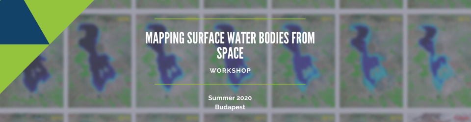
The workshop gives the theoretical background of surface water body mapping with optical and radar satellite images, covering the problems of identifying water cover, delineation of water boundaries, handling mixed occurrence of water, vegetation, and soils, etc. In the practical exercise, the participants will monitor a selected inland lake (Lake Urmia, Iran) using satellite images.
The test area of the exercise, Lake Urmia, Iran is one of the endangered great lakes in Iran. Due to environmental and agricultural pressures in its basin, and despite the protection under the Ramsar Convention, the inflow to the lake is decreasing, so the area of the lake is shrinking. The exercise will show methods to monitor the lake with satellite images and will also introduce data sources, from where processed images can be downloaded for the analysis of the water cover dynamics.
Participants will use QGIS v. 3.xx and Google Earth Engine for the analysis.

Topics
- Why and how we can detect water on optical and radar satellite images.
- Data sources
- Processing tools
- Processing workflows
- Case studies and examples
- Global water body monitoring products available on the internet
- Hands-on exercise
Target Group
Environmental and water professionals with min. basic knowledge of geo-information techniques (GIS & Remote Sensing).
Instructor
Faculty of Geo-Information Science and Earth Observation (ITC), the University of Twente, Enschede, Netherlands
and Faculty of Agricultural and Environmental Sciences, Szent István University, Gödöllő, Hungary
Pre-requisites
Understanding of some basic principles of GIS and RS.
Additional information
The Mapping Surface Water Bodies From Space 2020 workshop continues the series of joint UN-CEU training events under the ISEPEI Project “Bridging ICTs and the Environment”. The ISEPEI Project aims to address the gap between geospatial industry and environmental practitioners by providing in-service education and professional training for environmental decision-makers and practitioners, who are in a position to greatly benefit from this data revolution to better shape management strategies and to make more informed, data-driven decisions.
Price: 450 EUR. Discounts are available for the core workshops fee-paying participants.

Click here to found out more about the discounts.
ISEPEI reserves the right to cancel the course if it fails to meet the requirement of minimum enrolment. We will inform all applicants until April 28 about the confirmation or cancellation of the course. Should the course be canceled, ISEPEI or summer school will refund 100% of the fee paid. Participants should not purchase tickets or book accommodations before the confirmation date, as the summer school or ISEPEI can only reimburse the fee but no other costs.