Early Warnings in Focus: ISEPEI Hosted Summer Workshop on Geospatial Technologies for SDGs
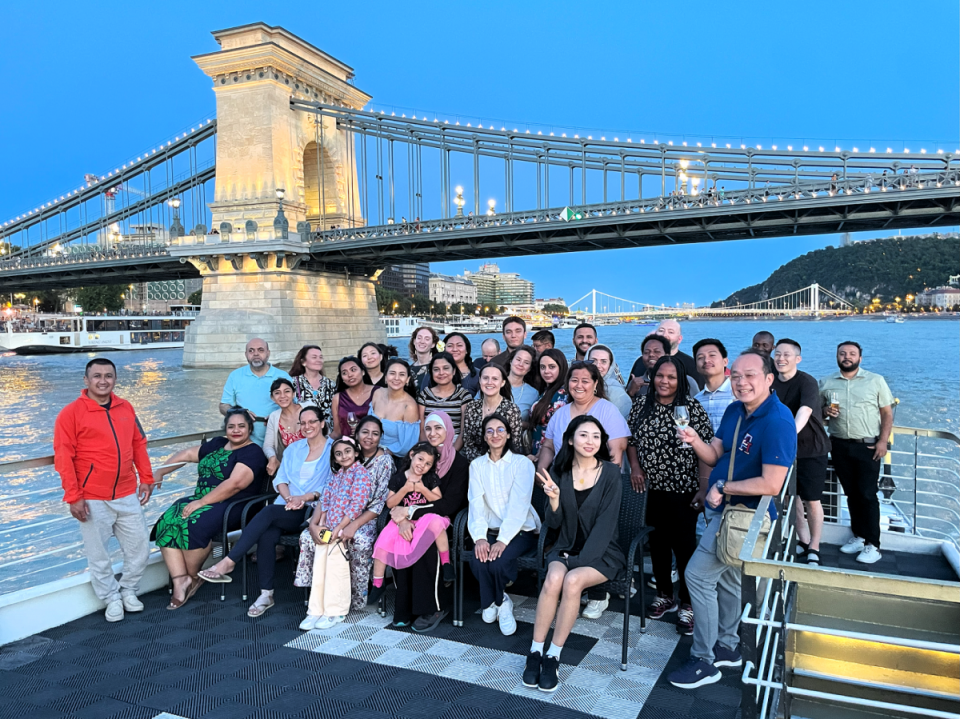
This year’s ISEPEI summer workshop on “Geospatial Technologies for Monitoring SDGs: Early Warnings for All” concluded with a resounding success. Held on July 22-26 at Central European University (CEU), the event brought together almost 50 experts and participants from diverse backgrounds to explore the applications of geospatial technologies in achieving Sustainable Development Goals (SDGs) and enhancing disaster resilience. It was the third year this workshop was organized under the GeoHub project, as a collaborative effort between CEU, the United Nations Office for Outer Space Affairs (UNOOSA), and the American University of Central Asia (AUCA), co-funded by the Open Society University Network (OSUN). The course attracted a diverse and unique group of participants, including governmental officials, UN officers, students, faculty, researchers, and young professionals from all around the world. Special focus was on involving participants coming from OSUN member institutions and GeoHub project partners.
Below you can find some highlights from the sessions that took place at the workshop:
Monday, July 22: Setting the Stage
The workshop commenced with introductory sessions by Lorant Czaran (UNOOSA), Viktor Lagutov (ISEPEI), and Kanat Sultanaliev (AUCA), setting the stage for the week's discussions. Natalia Donoho (World Meteorological Organization) discussed the organization’s involvement in the Early Warnings for All initiative. Masahiko Nagai (Yamaguchi University) showcased the use of satellite imagery for disaster risk reduction (DRR).
Tuesday, July 23: Technologies and Applications
Vadim Nozdrin (International Telecommunication Union) started the day with his presentation on the organization's activities on SDGs. Alberto Meroni (Esri) introduced the concept of geospatial artificial intelligence (GeoAl), highlighting its relevance in response times. Jumpei Takami (UNOOSA) discussed the basics of remote sensing and data application for DRR. Lee Mallon (DKR) presented on bridging the gap between geospatial data and language models for enhanced accessibility.
Wednesday, July 24: Disaster Risk Reduction and Good Practices
Luisa Taunga and Ofa Masiwawa (Tonga National Emergency Management Office) shared their work on disaster risk management in Tonga. Ashraf Abushady (UN Industrial Development Organization) emphasized the importance of leveraging geospatial technologies for sustainable crop production and processing. Vasko Popovski (UN Development Programme) led an early warning stakeholder mapping exercise in Central Asia. Elizaveta Khazieva (Vrije University Amsterdam) demonstrated the use of Google Earth Engine for monitoring heatwaves and droughts, followed by a practical session.
Thursday, July 25: Disaster Prevention and Response
Muhammad Farooq (Pakistan Space and Upper Atmosphere Research Commission) discussed the role of space-based information in national disaster risk assessment. Laszlo Szentpeteri (PlanetBlue 21) talked about the use of satellite positioning, laser scanners, and underwater sonars in disaster prevention and response. Karl Morteo (Food and Agriculture Organization of the UN) shared insights on animal disease and crop early warning systems, emphasizing climate-proofing strategies.
Friday, July 26: Climate Intelligence and Closing Remarks
On the last day of the workshop, Shimrit Maman (Ben-Gurion University) showcased climate intelligence using BGUSAT (an Israeli research CubeSat) for enhancing disaster preparedness and response. Olaf Neussner (UN Office for DRR) discussed the chaotic diversity of early warning alerts. Some time was also dedicated to enlightening talks by few workshop participants. The event concluded with a panel discussion, synthesizing the week's learnings and exploring future applications of geospatial technologies in addressing global challenges.
The “Geospatial Technologies for Monitoring SDGs: Early Warnings for All” workshop’s goal was to help bridge the gap between the potential of geospatial technologies and their practical applications in environmental decision-making and policy development. We can since this event a success as participants left with new skills, insights, and a broader network of professionals in the field of geospatial technologies, ready to contribute to more informed, data-driven decisions in achieving SDGs and enhancing disaster resilience.